


From Volcano Trails to Island Paradise: Hiking Mt. Aminduen to Sambawan Island
Biliran Province is one of the hidden gems of the Philippines, full of natural wonders waiting to be explored. One of my most memorable adventures there was trekking Mt. Aminduen on Maripipi Island and continuing the journey to the beautiful Sambawan Island. It was a trip that combined volcanic landscapes, mountain views, and tropical island scenery all in one unforgettable experience.
The journey began early in the morning on Maripipi Island. Mt. Aminduen, the highest peak in Biliran Province, stands proudly above the island at about 1,340 meters above sea level. The trek started through quiet villages and green forests, where the cool mountain air and the sounds of nature created a peaceful atmosphere.
Along the way, one of the fascinating natural attractions was the Sulfatera Vent. Here, you can see steam rising from the ground, reminding visitors that Biliran is a volcanic island. The smell of sulfur and the sight of smoke slowly escaping from the earth made the place feel mysterious and powerful. It was a unique stop that showed the island’s volcanic character.
Continuing higher into the mountains, another highlight of the journey was the Mt. Janagdan Crater Lake. Hidden within the mountain landscape, the crater lake is calm and quiet, surrounded by thick vegetation and volcanic rock formations. The deep green water reflects the surrounding forest, creating a peaceful and almost magical atmosphere. It felt like discovering a secret place in the middle of the mountains.
Finally reaching the summit of Mt. Aminduen was an unforgettable moment. From the top, the view stretched across the Visayan Sea, revealing nearby islands and endless blue waters. In the distance, Sambawan Island appeared like a small paradise waiting to be explored.
After descending from the mountain, the adventure continued toward the coast and eventually to Sambawan Island, one of Biliran’s most stunning destinations. The island is known for its crystal-clear waters, white sand, and rolling grassy hills. Climbing the hill on the island offers a breathtaking panoramic view of the surrounding islands and the sparkling sea.
The entire journey—from the volcanic trails of Mt. Aminduen, to the mysterious Sulfatera Vent, the peaceful Mt. Janagdan Crater Lake, and finally the tropical beauty of Sambawan Island—felt like traveling through different worlds in a single adventure.
It was a reminder of how rich and diverse nature can be in the Philippines, where mountains, volcanoes, and islands exist side by side, waiting for travelers willing to explore them.


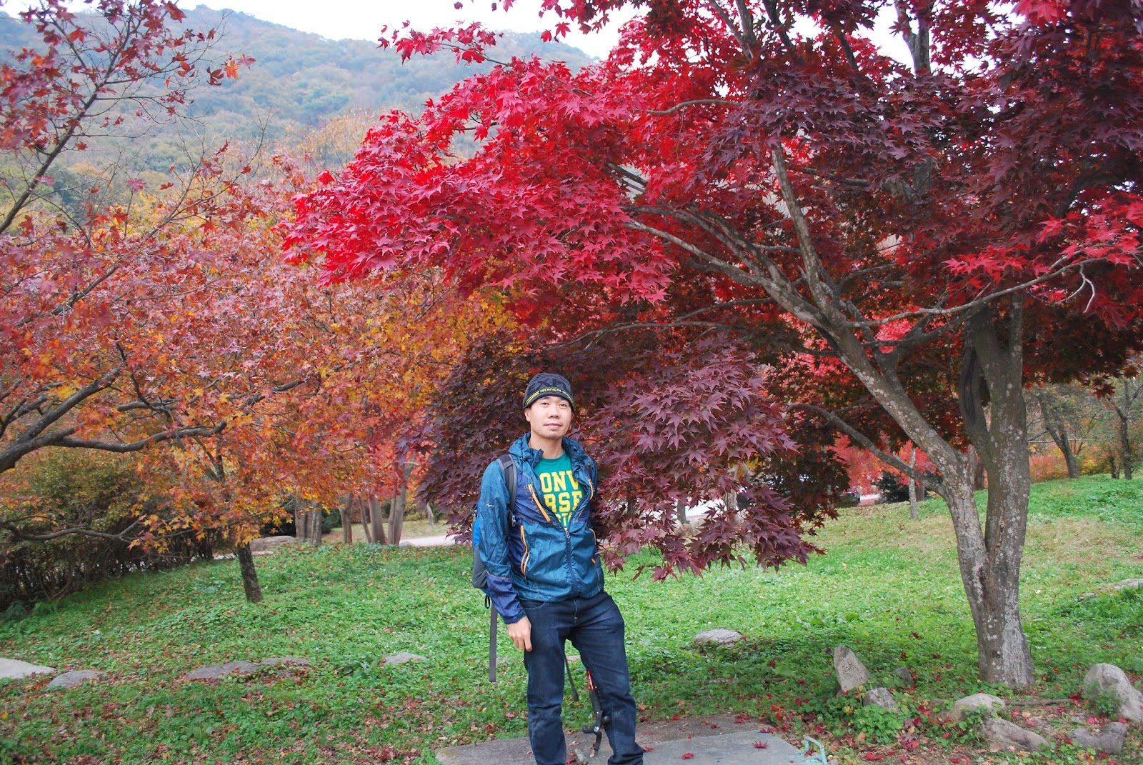


My solo journey to Naejangsan National Park in South Korea remains one of my most unforgettable travel experiences. It was a trip filled with long bus rides, spontaneous decisions, and the breathtaking beauty of autumn.
I began my journey from Geoje Island in the afternoon. My first stop was Tongyeong-si, a coastal city known for its scenic harbor and fresh seafood. Before continuing the long journey, I had dinner at Tongyeong Macdo, enjoying a warm meal while watching the calm evening atmosphere of the port.
Later that night, I boarded a bus bound for Gwangju. The ride was long and quiet, and I arrived close to 11 PM. Since I had not arranged accommodation in advance, I quickly searched through Booking.com and was fortunate to find a backpacker-style place to stay for the night. It was simple but comfortable—exactly what I needed after hours of travel.
Early the next morning, I continued my journey to Jeongeup, the gateway to Naejangsan National Park. From there, I entered one of South Korea’s most famous autumn destinations.
The moment I arrived, I understood why so many people visit this place during fall. The park was filled with vibrant colors—bright red, golden yellow, and deep orange leaves covering the mountains and pathways. My walk began along the famous Maple Tree Tunnel, where rows of maple trees formed a colorful arch above the road.
As I continued deeper into the park, I visited several of its well-known attractions. One of the highlights was Naejangsa Temple, a peaceful temple surrounded by beautiful autumn foliage. The temple area felt calm and spiritual, with visitors quietly admiring the scenery and taking photos.
Another memorable spot was Uhwajeong Pavilion, a small traditional pavilion standing gracefully on a pond. The reflection of the colorful trees on the water made the place look almost magical.
I also walked toward the Naejangsan Cable Car area, where visitors could ride up the mountain for a panoramic view of the autumn landscape. The sight of the colorful forest stretching across the mountains was truly breathtaking.
Throughout the park, many local Korean visitors were also enjoying the season. Families, couples, and hikers walked slowly along the trails, taking photos and appreciating the beauty of nature.
Spending the entire day wandering around Naejangsan National Park felt peaceful and refreshing. The crisp autumn air, the sound of leaves under my feet, and the stunning scenery made the long journey completely worthwhile.
Looking back, that solo trip was more than just travel. It was an experience of freedom, discovery, and the simple joy of walking through one of Korea’s most beautiful autumn landscapes.


